


 Port And Harbor Information

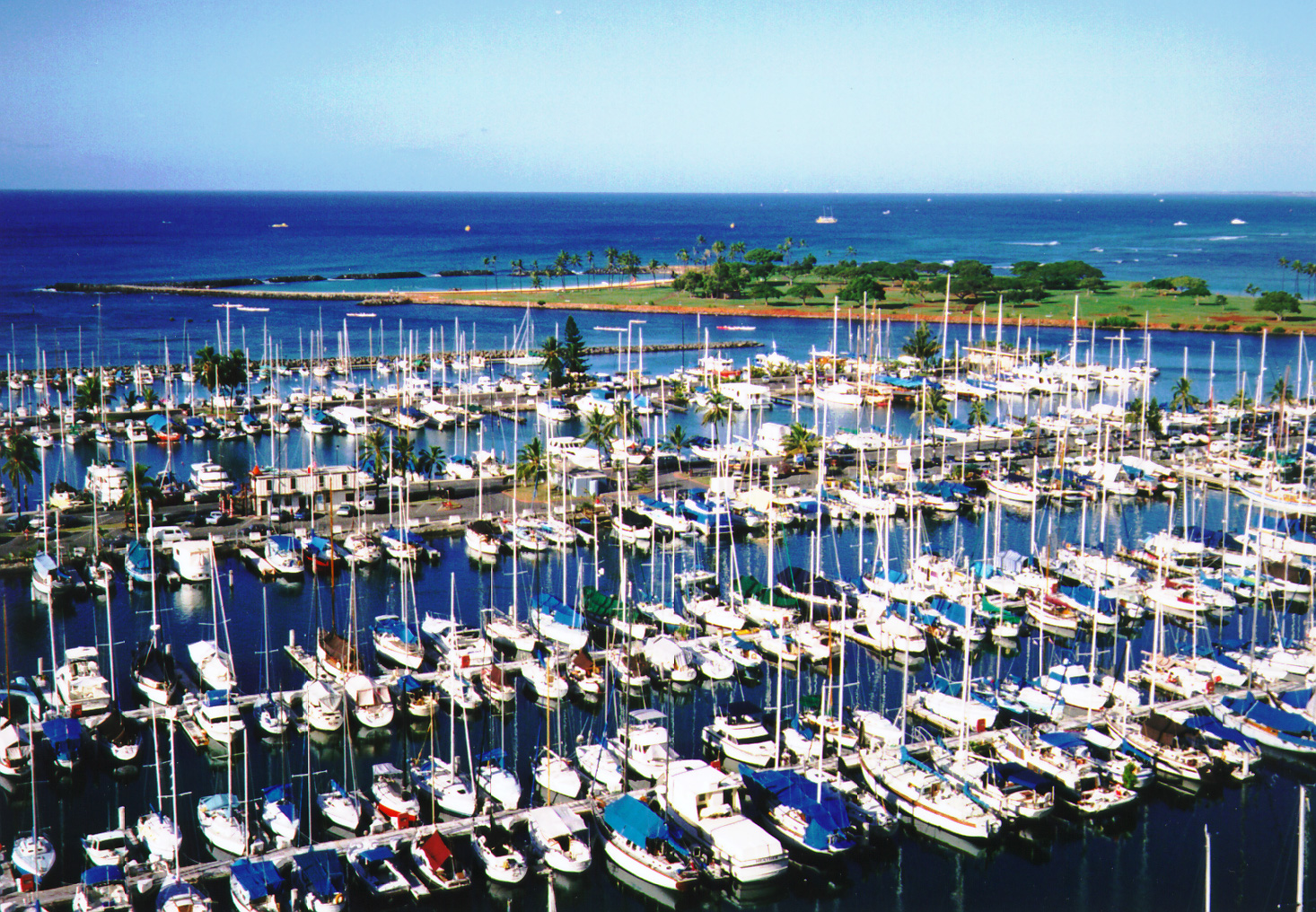
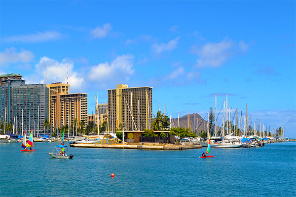
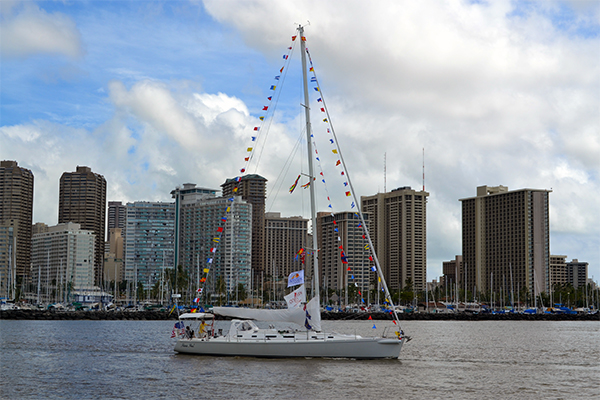
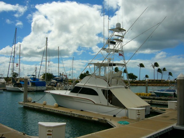
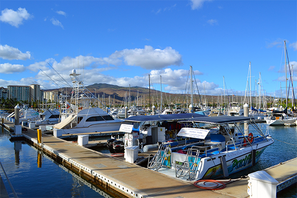
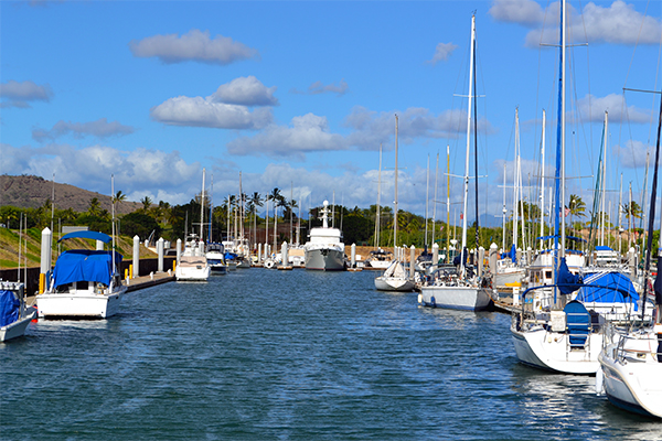
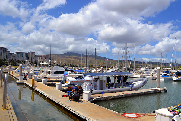
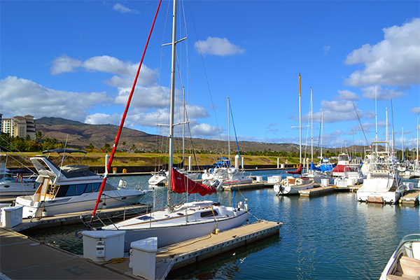
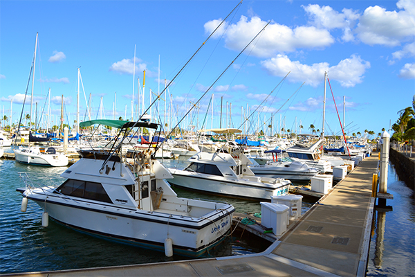
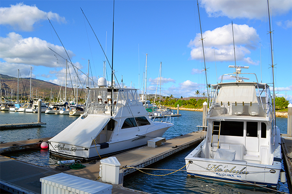
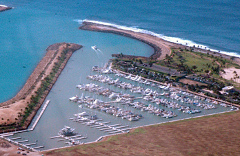
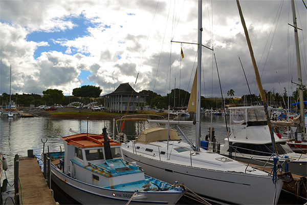
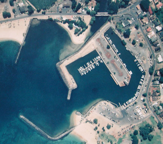
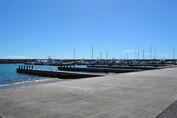
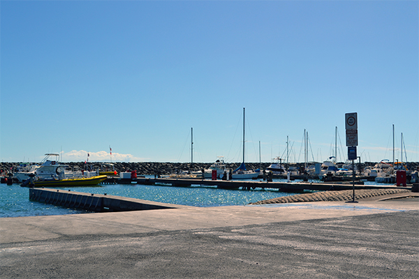
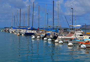
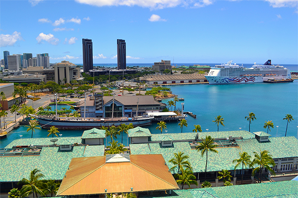
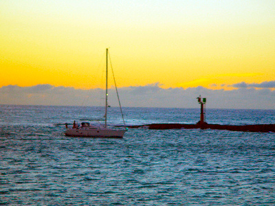
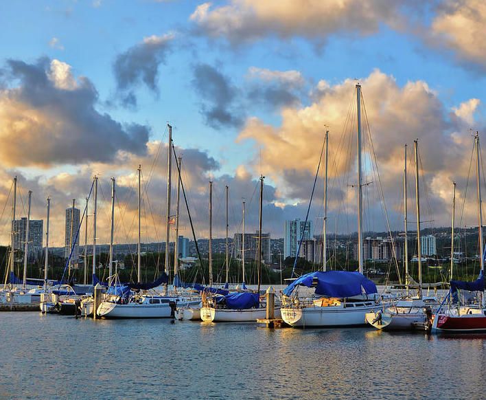
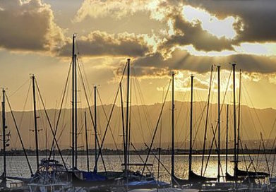
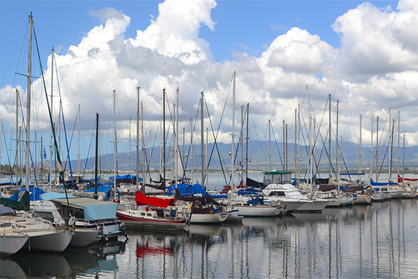
Kewalo Basin Harbor
Oahu
Kewalo Basin Harbor
1125 Ala Moana Blvd. Honolulu, HI, United States - 96814
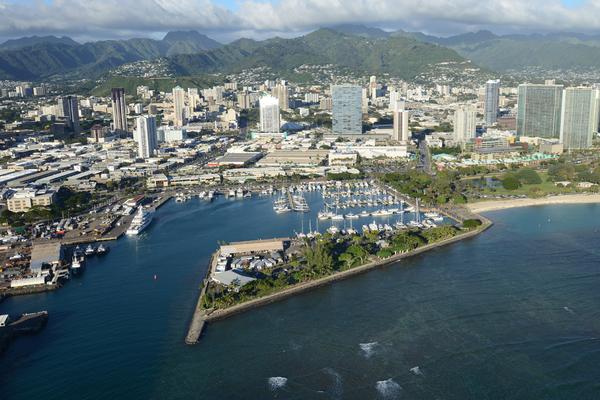
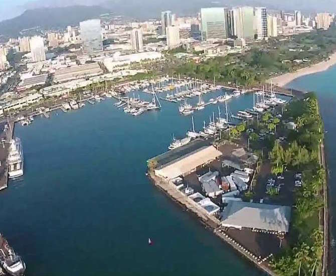
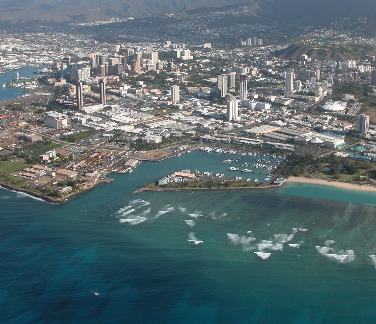
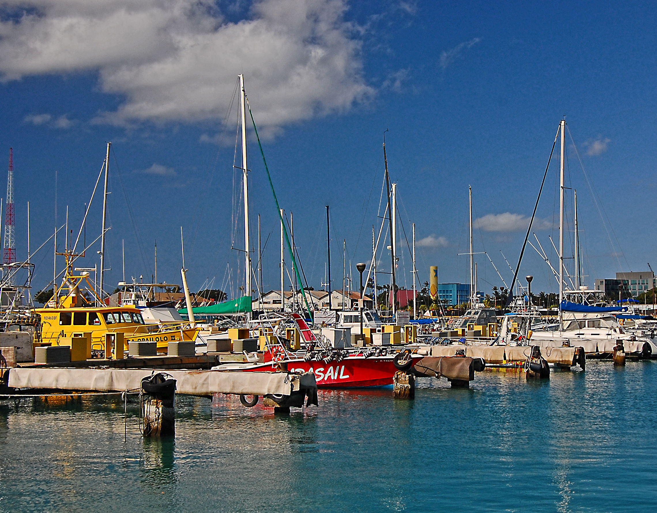
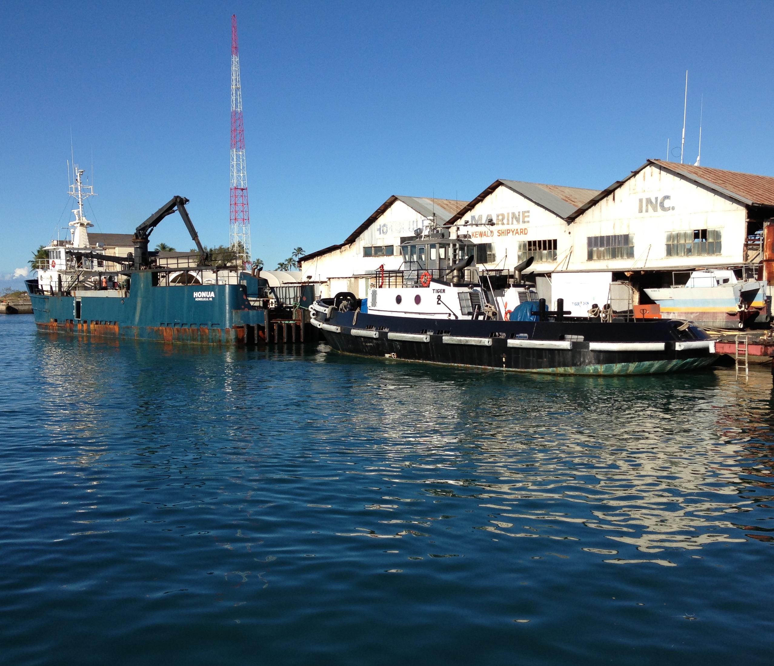
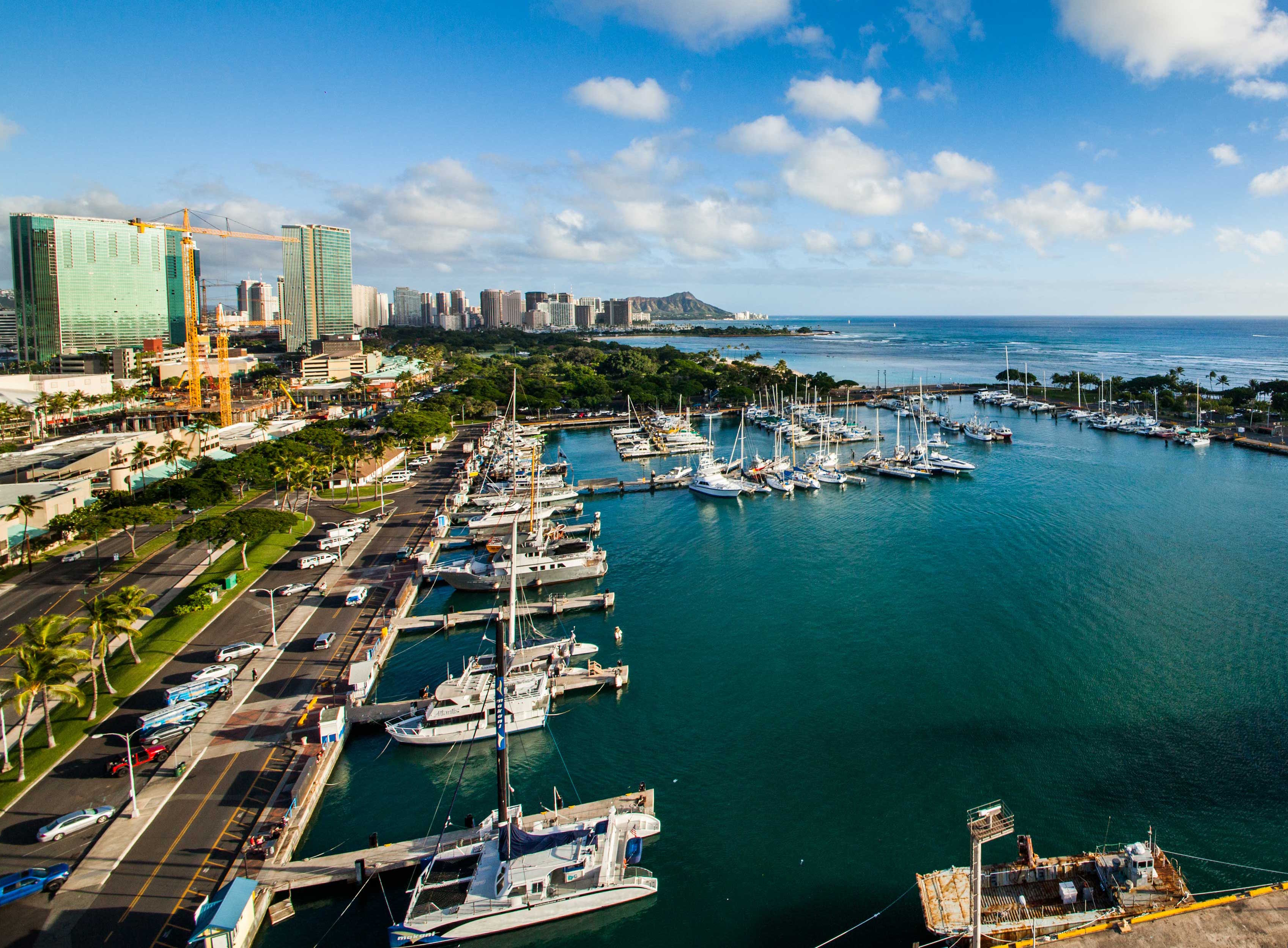
Welcome to beautiful Kewalo Basin Harbor, conveniently located in Honolulu's Kaka'ako District between Ala Moana Beach Park and Kaka'ako Waterfront Park. Adventures await you here with some of the best ocean adventures available in Hawaii including sailing and sunset cruises, scuba diving, snorkeling, sportfishing, parasailing and winter whale watching. You can even explore Hawaii's underwater world in a submarine or shiver your timbers on a Pirate ship Adventure! All ocean adventures from Kewalo Basin Harbor can bring you close to pods of spinner dolphins even humpback whales during the winter. Cap off a perfect day in paradise with a sunset sail along the world famous Waikiki shoreline.
| Website: | http://www.kewaloharbor.com |
|---|---|
| Nautical Coordinates: | 21° 17′ 22″ N, 157° 51′ 40″ W |
| NOAA Chart: | 19367 |
| Harbor Master: | John Eveleth |
| Email Address: | jeveleth@kewaloharbor.com |
| Phone: | 8085940849 |
| Fax: | 8085940848 |
| Harbor Amenities: |
Harbor Office |

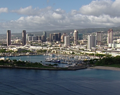
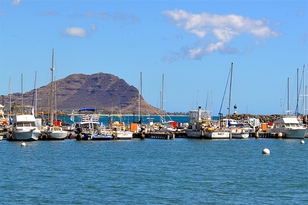
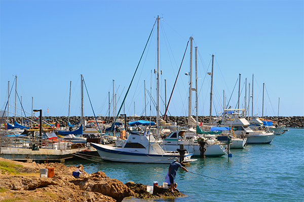
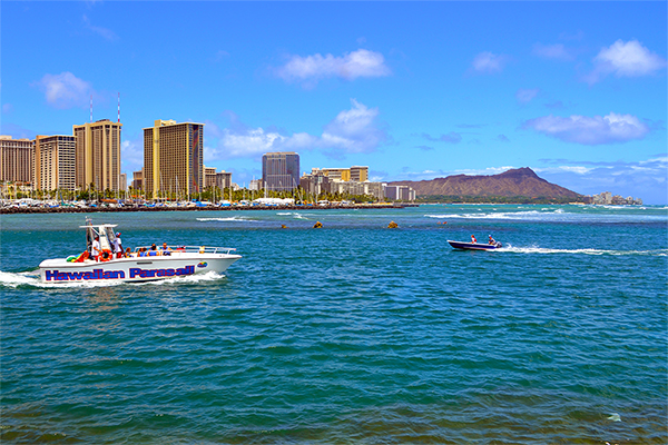
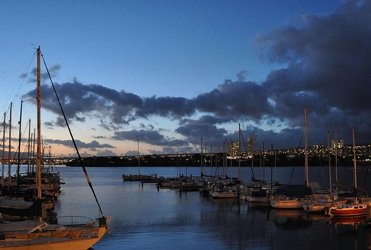
Ala Wai Harbor
Oahu
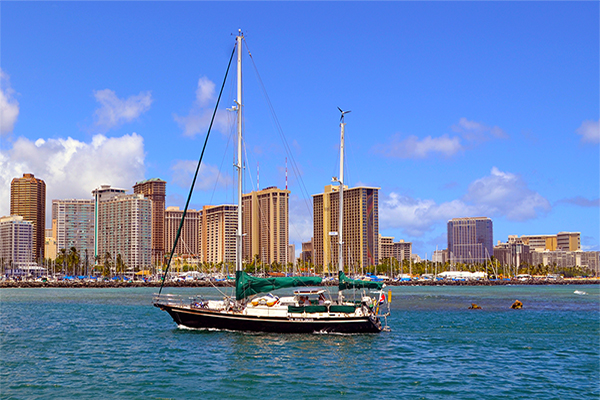
Ala Wai Harbor
1651 Ala Moana Blvd. Honolulu, HI, United States - 96815
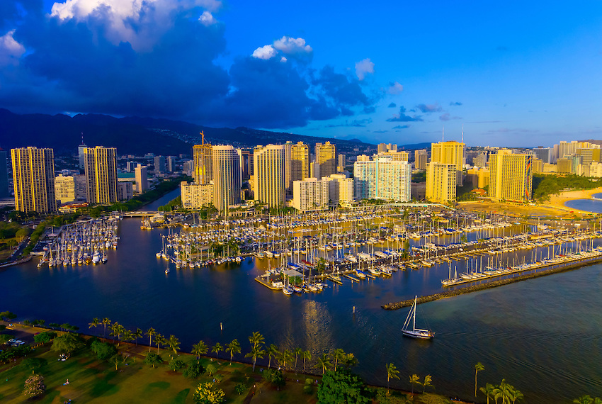
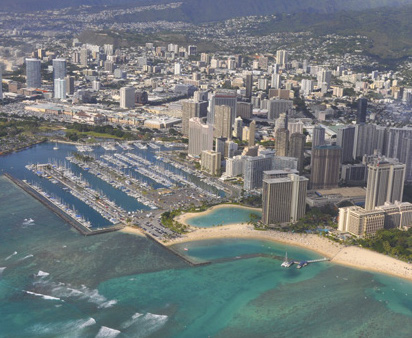
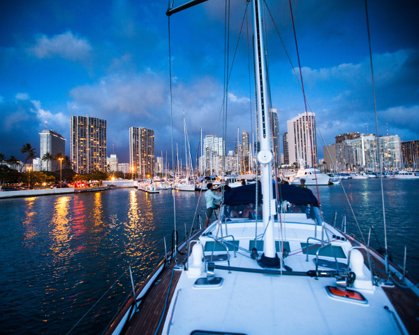
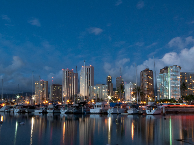
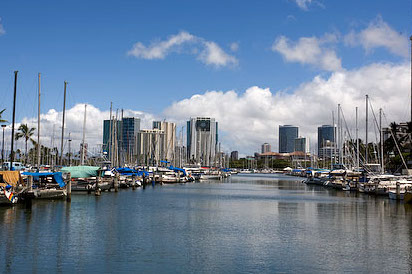
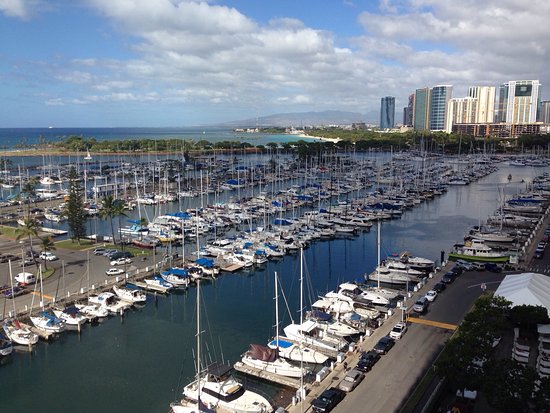
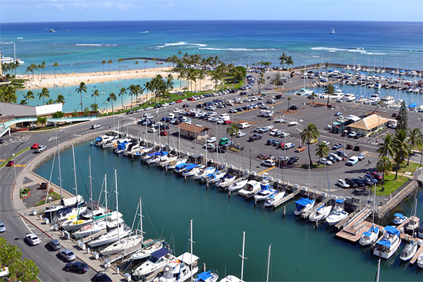
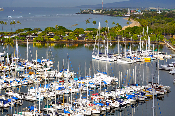
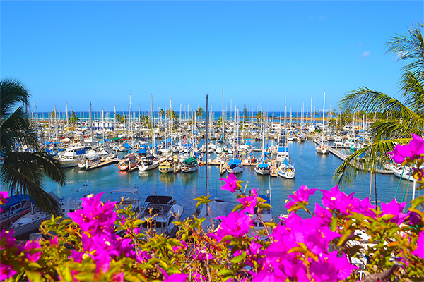
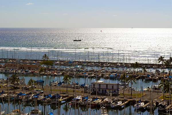
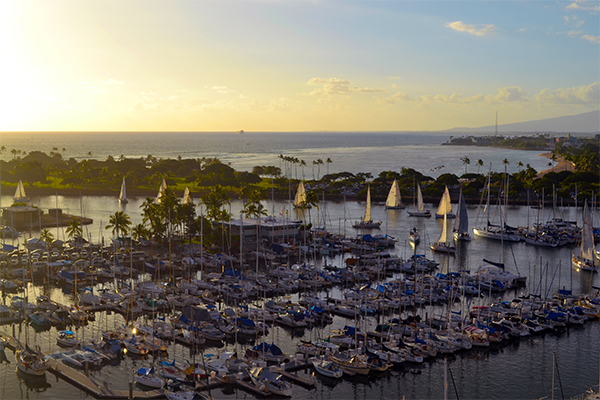
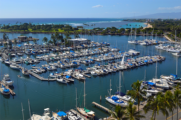
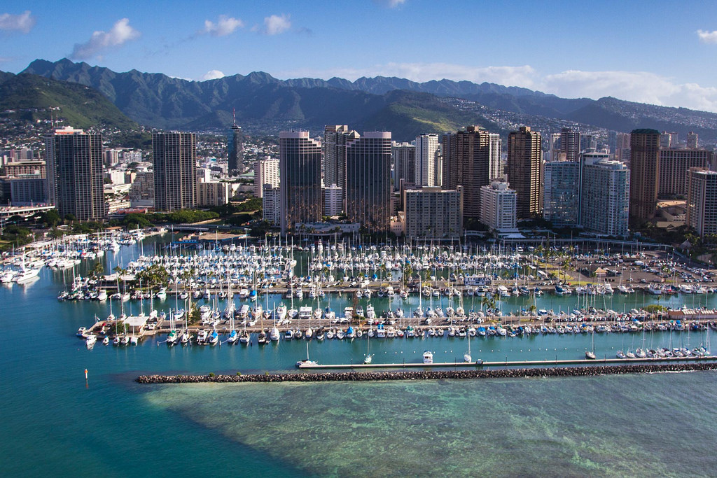
Ala Wai Yacht Harbor is the largest yacht harbor in the state of Hawaii. Located at the mouth of the Ala Wai Canal, between world famous Waikiki and Honolulu, the Capital of Hawai'i. The TransPac sailing race begins in California and ends at Diamond Head Point with the harbor being the home port, an event that takes place every two years. It is one of the world's longest-running ocean races. Many Waikiki hotels are in the area, but the Waikiki Prince Hotel and the Hilton Hawaiian Village are essentially adjacent to the property, and the Ilikai Hotel is built on harbor land, paying rent into the boating special fund. The harbor is home to the Waikiki Yacht Club and the Hawaii Yacht Club, which host junior sailing clubs, weekly sailing races, and fishing tournaments. Boats from around the world find shelter in state harbor berths, yacht club berths, and fuel dock berths. The Ala Wai Harbor can accommodate vessels up to 85 feet in length. Ala Wai Yacht Harbor has been the background for many movies and TV shows such as Hawaii Five-O, Lost and Magnum P.I., and was the scene of the Minnow leaving port for a three hour tour on Gilligan's Island. Elvis Presley filmed scenes for his second Hawaii film "Girls, Girls, Girls" at Ala Wai Yacht Harbor.
| Website: | http://www.alawaiharbor.com |
|---|---|
| Nautical Coordinates: | 21° 16′ 49″ N, 157° 50′ 45″ W |
| NOAA Chart: | 19369 |
| Harbor Master: | Kenneth Chee |
| Email Address: | Ala.Wai.Harbor@hawaii.gov |
| Phone: | 8089739727 |
| Fax: | 8089739739 |
| Harbor Amenities: |
Harbor Office |

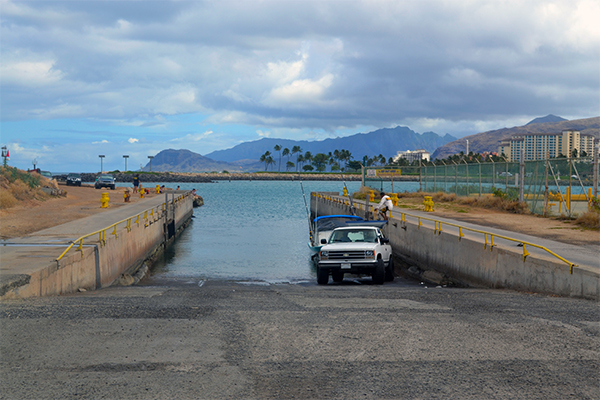
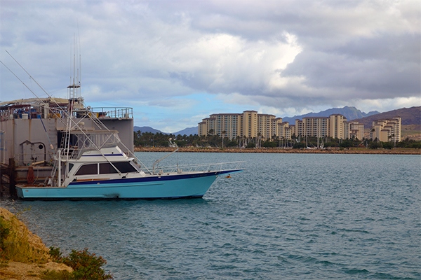
Ko'olina Harbor
Oahu
Ko'olina Harbor
92-100 Waipahe Place, Kapolei, HI. 9670792-100 Waipahe Place Kapolei, HI, United States - 96707
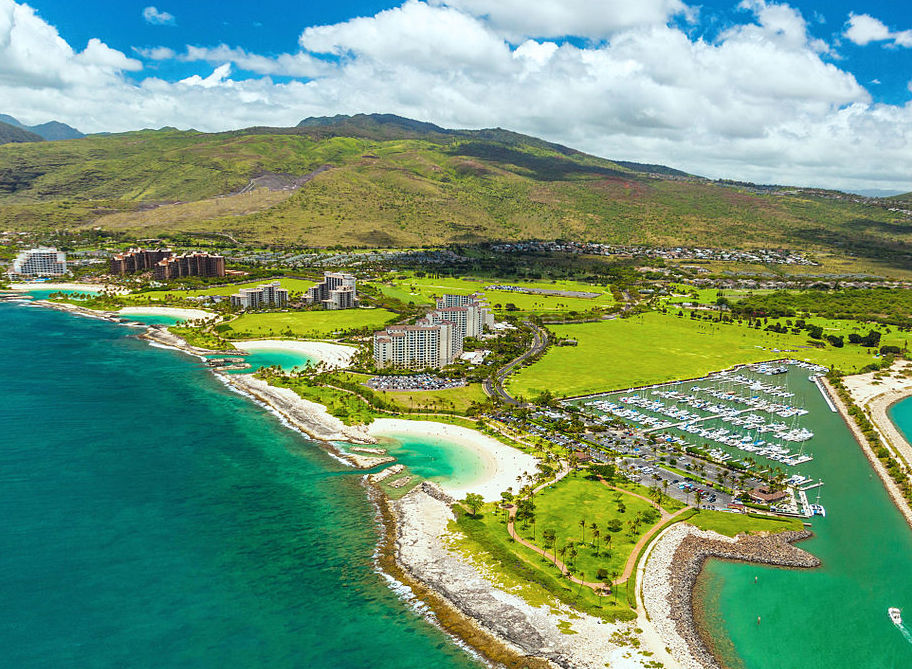
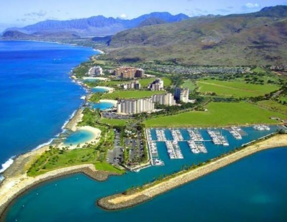


Aloha and welcome to Ko'olina Harbor, located on the leeward coast of Oahu. Ko Olina Resort is an amazing oceanside resort with many fine hotels, restaurants and a beautiful golf course. Ko Olina Harbor offers many ocean adventures such as Sportsfishing, Sunset Sailing Cruises, Whale and Dolphin Watching, Snorkeing and Diving Charters or just chillax on one of 4 beautiful lagoon beaches. Ecomo mai. Ko Olina Harbor is a privately owned marina and is undoubtably one of the nicest harbors in all of the Hawaiian islands.
| Website: | http://www.koolinamarina.com |
|---|---|
| Nautical Coordinates: | 21° 32′ 66″ N, 158° 12′ 06″ W |
| NOAA Chart: | 19357 |
| Harbor Master: | Sean Stone |
| Email Address: | info@koolinamarina.com |
| Phone: | 8086791050 |
| Fax: | 0 |
| Harbor Amenities: |
Activity Charters |

Haleiwa Harbor
Oahu
Haleiwa Harbor
66-105 Haleiwa Rd. Haleiwa, HI, United States - 96712
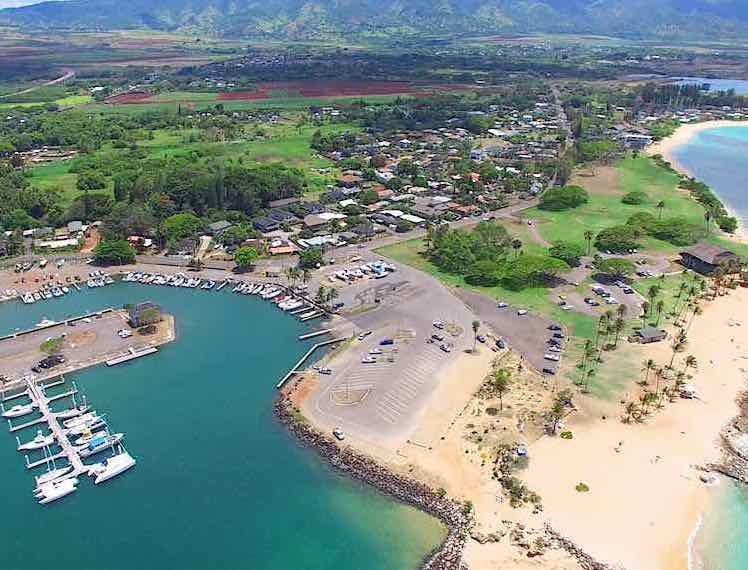
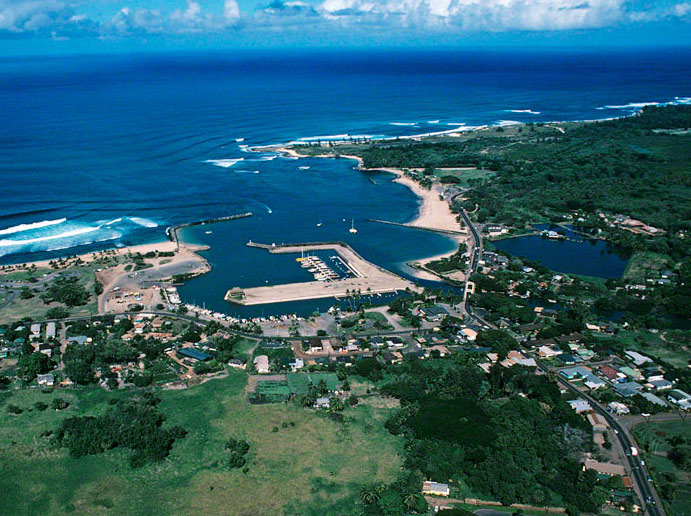
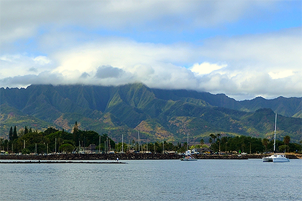
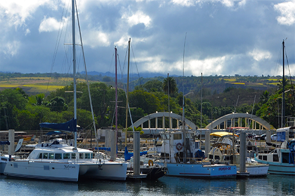
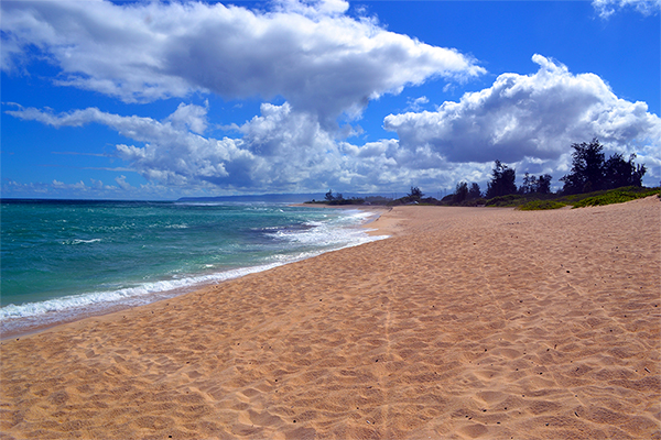
Haleiwa Boat Harbor is located on the North Shore of Oahu in Waialua Bay at the mouth of the Anahulu River and bridge. The shoreline is surrounded by Hale'iwa Beach Park and is a wonderful place for SUP (Stand-Up Paddleboard) or surfboard rentals in the summer. In the winter, this is the spot for some incredibly large surf and hosts many surfing contests. Haleiwa Harbor offers many ocean adventures from sport fishing to sailing and whale watching to shark cage encounters.
| Website: | http://www.haleiwaharbor.com |
|---|---|
| Nautical Coordinates: | 21° 35′ 46″ N, 158° 06′ 20″ W |
| NOAA Chart: | 19367 |
| Harbor Master: | Paul Sensano |
| Email Address: | www.haleiwa.harbor@hawaii.gov |
| Phone: | 8086378246 |
| Fax: | 8086378247 |
| Harbor Amenities: |
Cruise Ships |

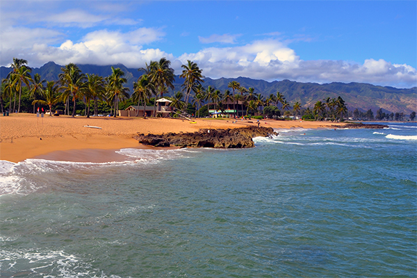
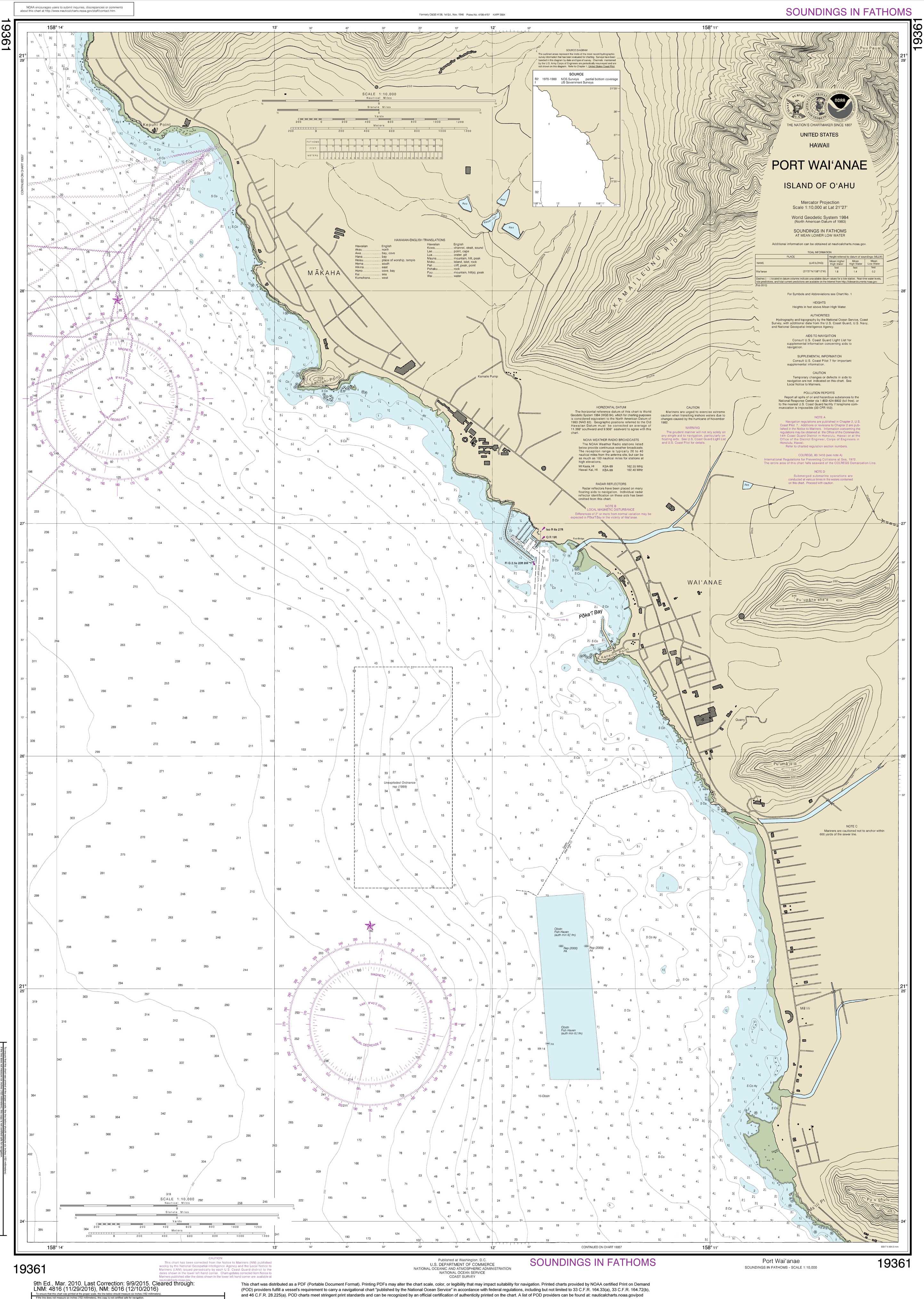
Waianae Harbor
Oahu
Waianae Harbor
85-371 Farrington Hwy. Waianae, HI, United States - 96792
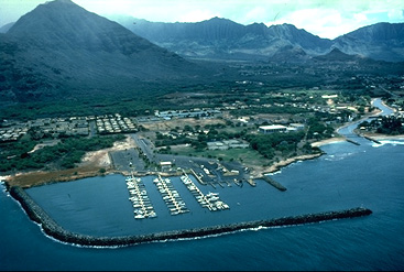
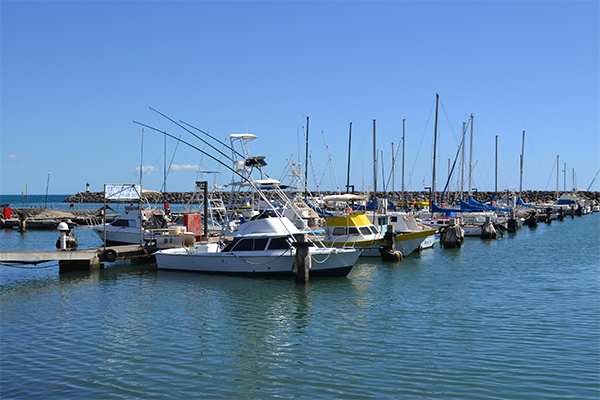
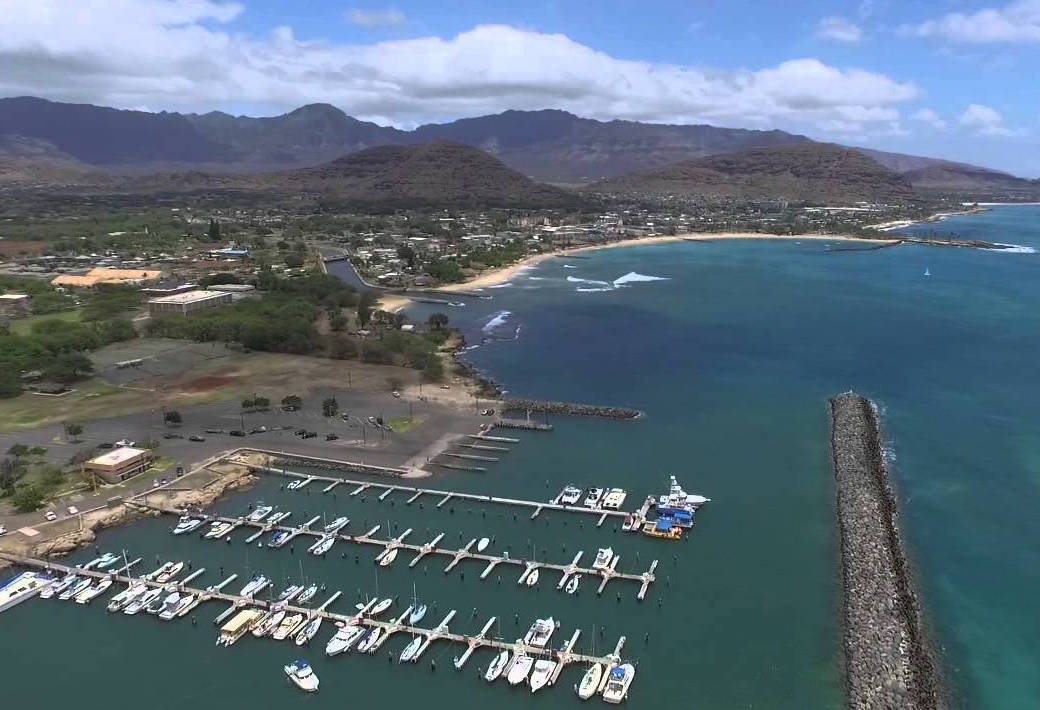
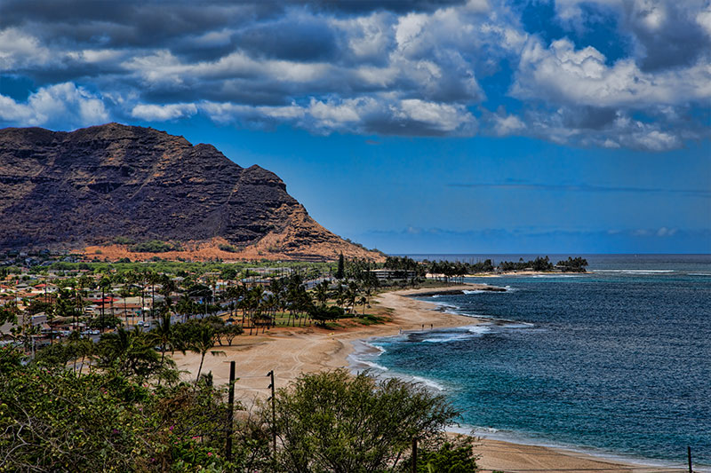
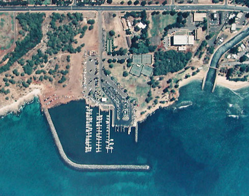

Welcome to Wai'anae Harbor, located north of Kaneilio Point on the Wai'anae leeward coast of Oahu, ten miles northwest of Kalaeloa Barbers Point Harbor and Ko'Olina. This is a small boat harbor with a few sportfishing charters, cruises and dolphin excursions are available. Waianae Harbor is a great place to watch the sunset and whales in season.
| Website: | http://www.waianaeharbor.com |
|---|---|
| Nautical Coordinates: | 21° 26′ 52″ N, 158° 10′ 45″ W |
| NOAA Chart: | 19361 |
| Harbor Master: | John Swift |
| Email Address: | Waianae.Harbor@hawaii.gov |
| Phone: | 8086977095 |
| Fax: | 8086977096 |
| Harbor Amenities: |
Harbor Office |

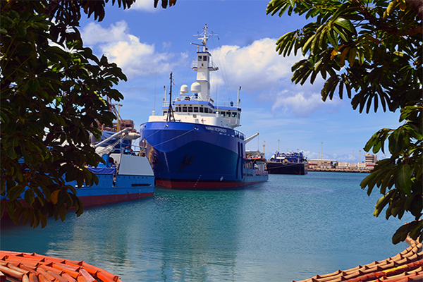
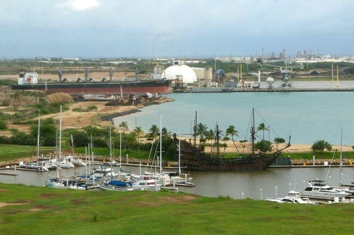
Heeia Kea Harbor
Oahu
Heeia Kea Harbor
46-499 Kamehameha Hwy. Kaneohe, HI, United States - 96744
.JPG)
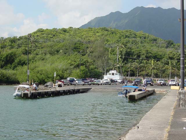
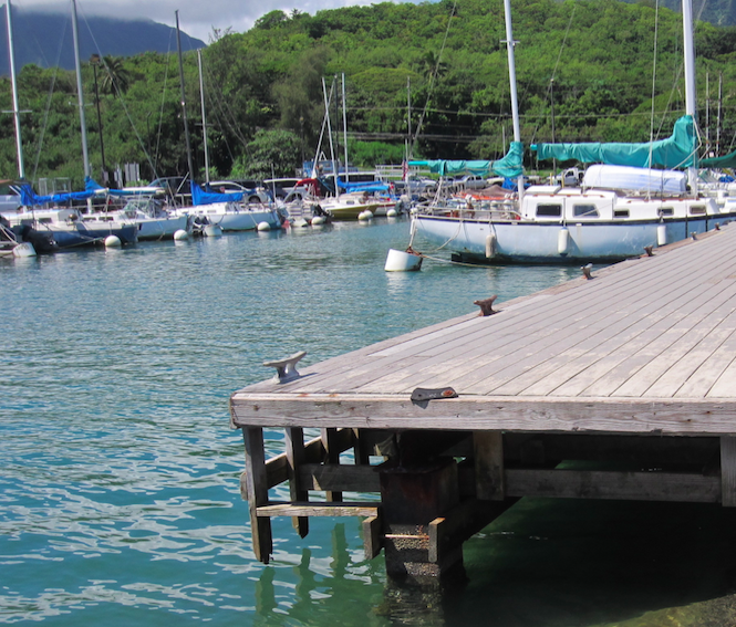
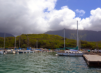
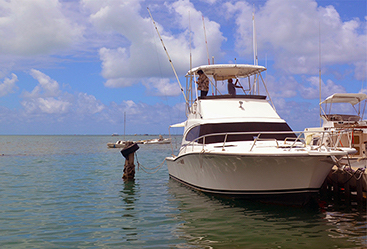
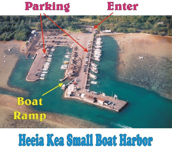
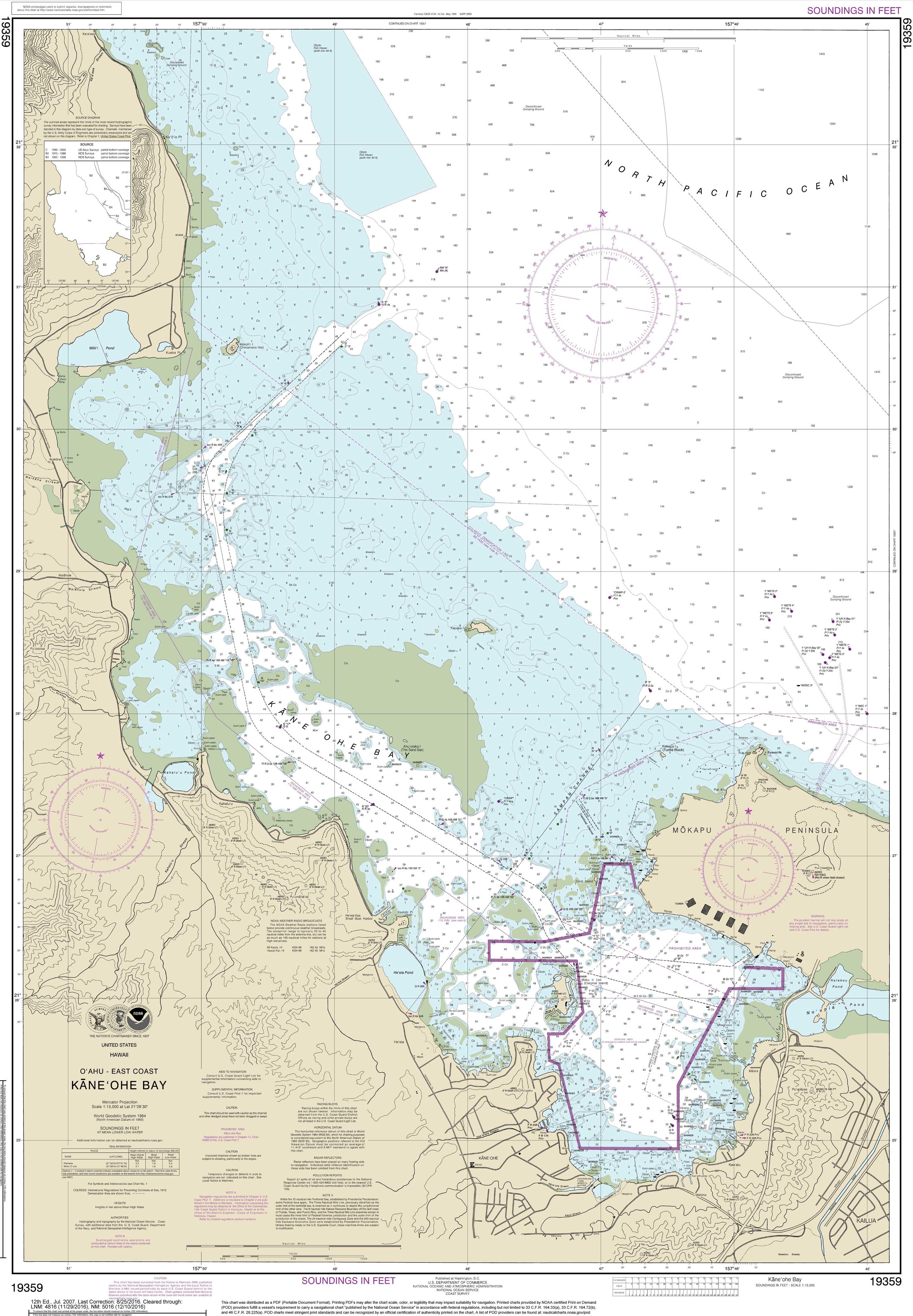
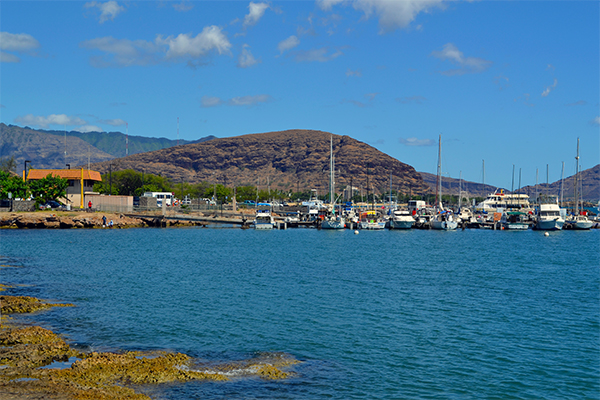
He'eia Kea Harbor is located on Oahu's windward side in Kaneohe Bay, the largest sheltered body of water in the Hawaiian Islands. He'eia Kea Harbor offers fishing charters and scenic cruises, boat, water toy and jet ski rentals, parasailing, snorkel and scuba diving cruises
| Website: | http://www.heeiakeaharbor.com |
|---|---|
| Nautical Coordinates: | 21° 26′ 41″ N, 157° 48′ 36″ W |
| NOAA Chart: | 19359 |
| Harbor Master: | Ernest Choy |
| Email Address: | Heeia.kea.harbor@hawaii.gov |
| Phone: | 8082233603 |
| Fax: | 8082333602 |
| Harbor Amenities: |
Activity Charters |

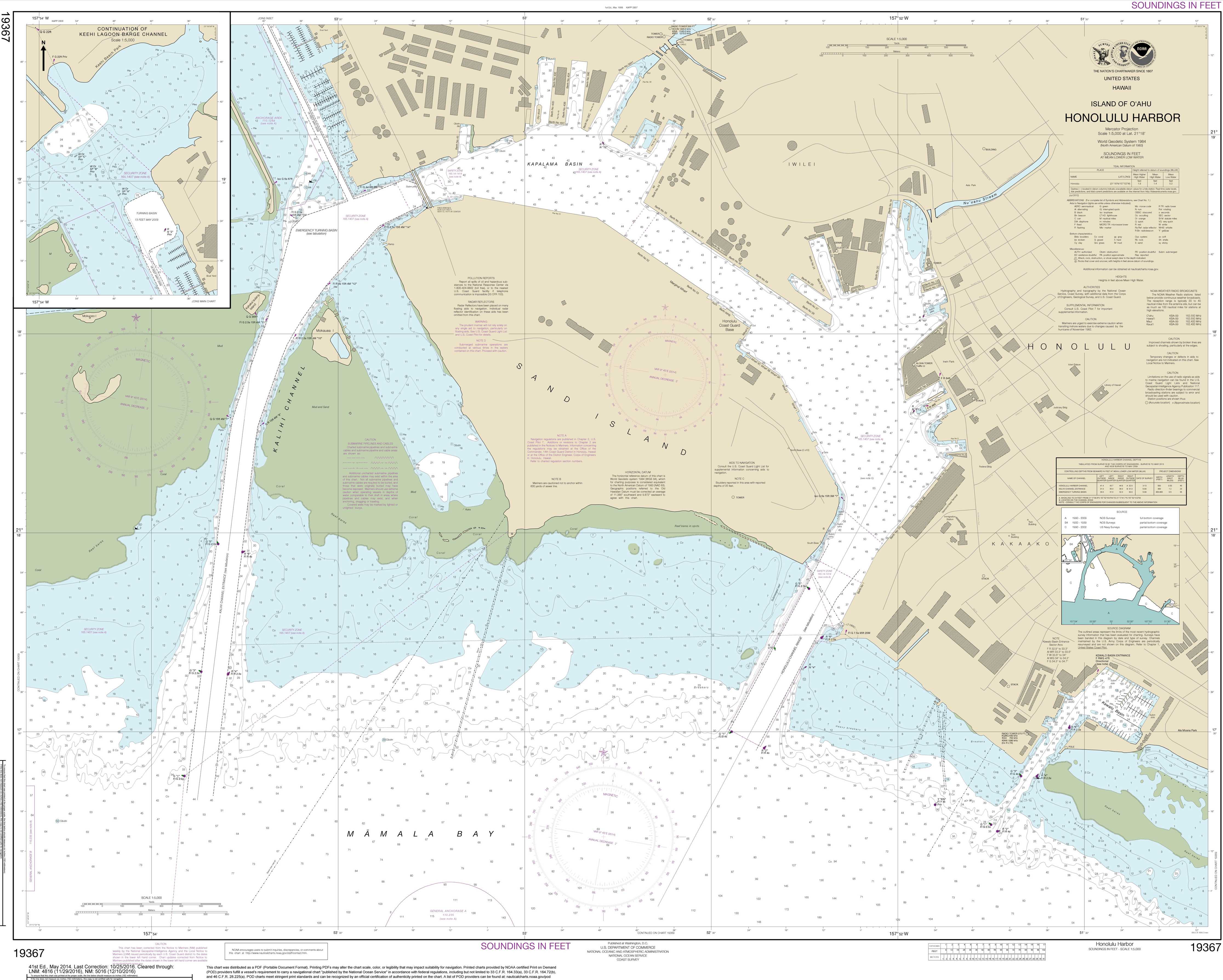
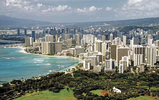
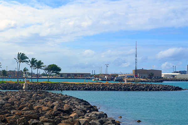
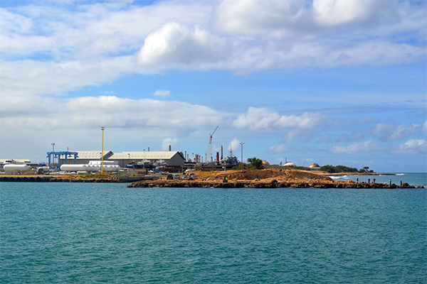
Honolulu Harbor
Oahu
Honolulu Harbor
79 South Nimitz Hwy. Honolulu, HI, United States - 96813
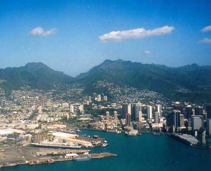
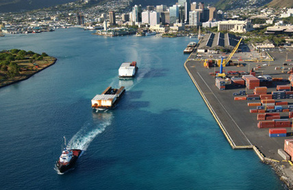
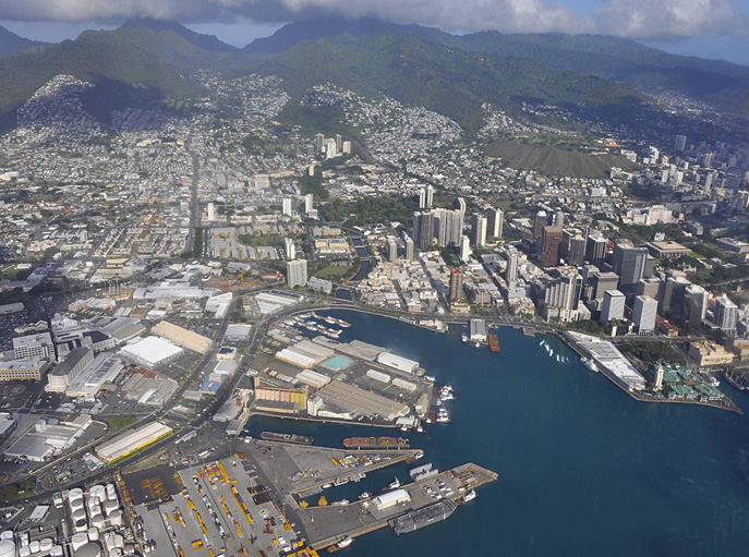
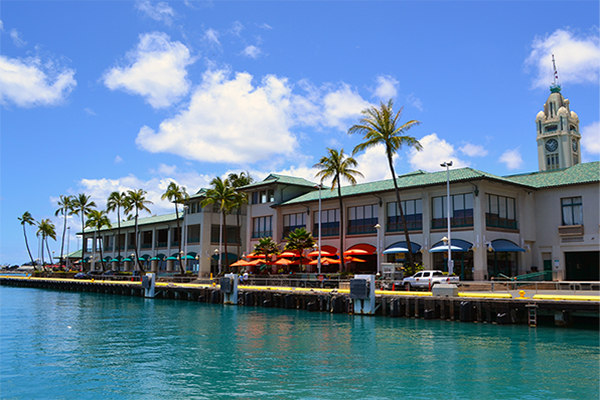
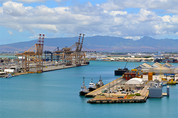
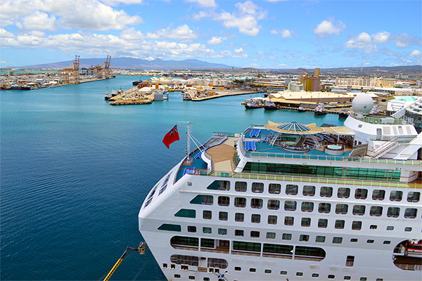
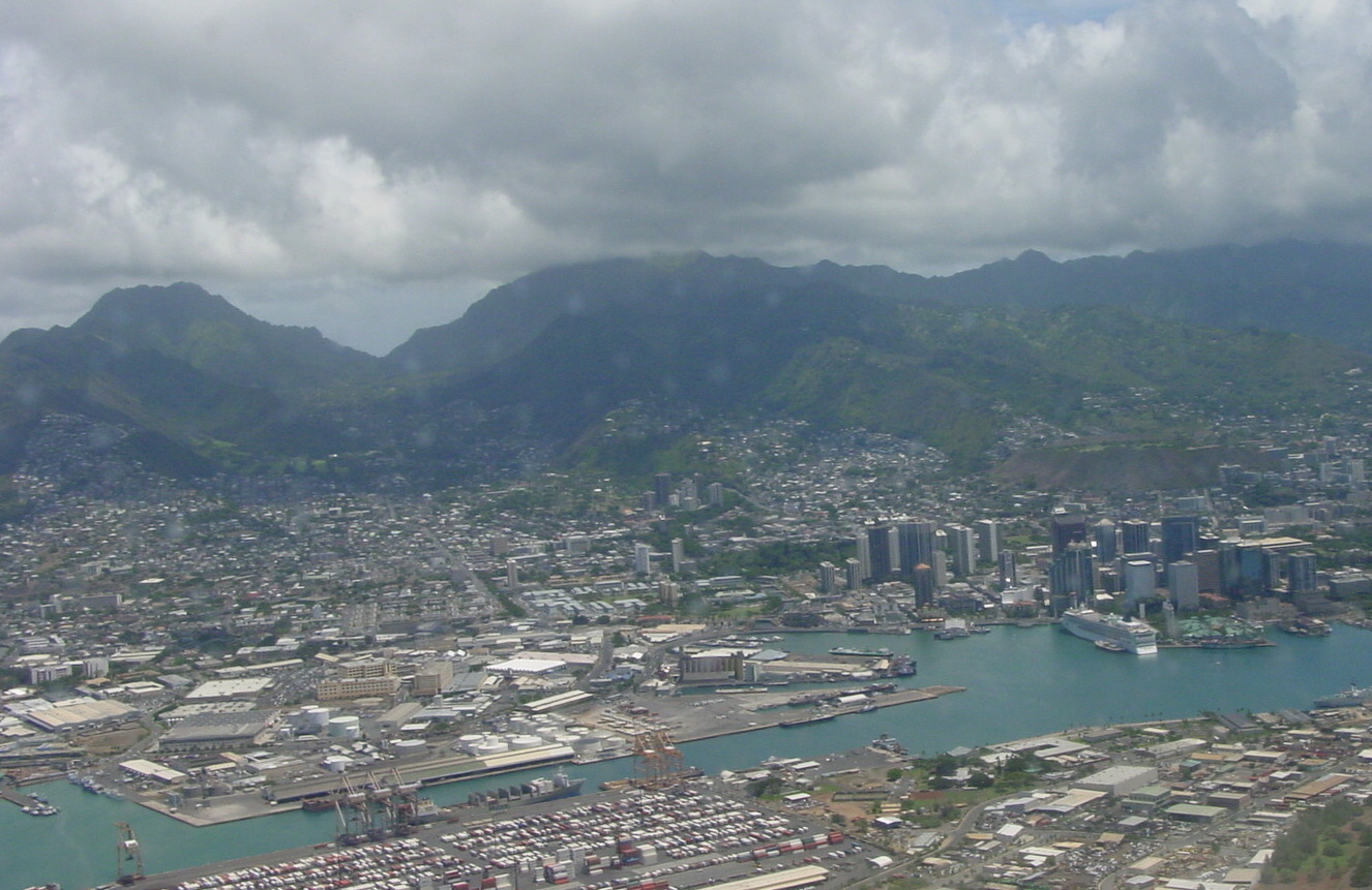

Honolulu Harbor is the principal seaport of Honolulu and the State of Hawai?i and is also known as Kulolia and Ke Awa O Kou. It began as a small fishing village and It is from Honolulu Harbor, that the City & County of Honolulu was developed and urbanized over the course of modern history. Honolulu Harbor has beautiful views of the Ko'olau Mountains mixed with modern glass high rises in the financial district. Honolulu Harbor handles over 11 million tons of cargo annually, critical to the economy of Hawaii, everything from oil, to toilet paper to 85% of all the food Hawaii consumes. Archaeological surveys show that the area around Honolulu Harbor was bustling with human activity prior to 1100. In 1850, Kamehameha III declared Honolulu to be the official capital of the Kingdom of Hawai?i. With the proclamation came a series of investments to further develop the harbor to accommodate more vessels. Honolulu Harbor quickly became the chief port of call for the trans-Pacific sandalwood, fur and whaling industries. Foreign vessels that docked at Honolulu Harbor poured vast amounts of wealth into the kingdom's coffers and provided for the well-being of native Hawaiians.
| Website: | http://www.honoluluharbor.com |
|---|---|
| Nautical Coordinates: | 20° 52′ 00″ N, 156° 40′ 00″ W |
| NOAA Chart: | 19367 |
| Harbor Master: | DOT Harbor Division |
| Email Address: | honolulu@honoluluharbor.com |
| Phone: | 8085872050 |
| Fax: | 0 |
| Harbor Amenities: |
USCG Station |

Kalaeloa Harbor (Barbers Point)
Oahu
Kalaeloa Harbor (Barbers Point)
91-550 Malakole Street Kapolei, HI, United States - 96707
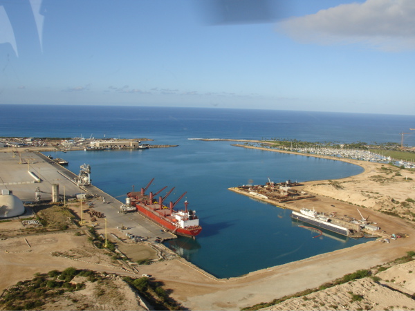
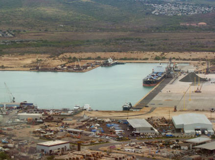
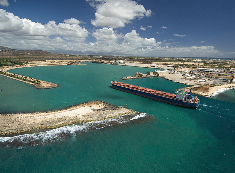
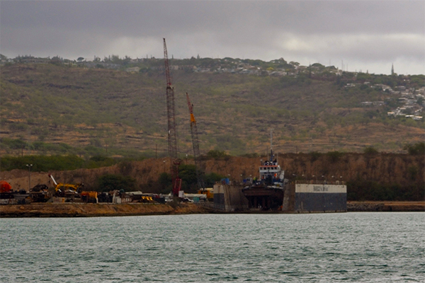
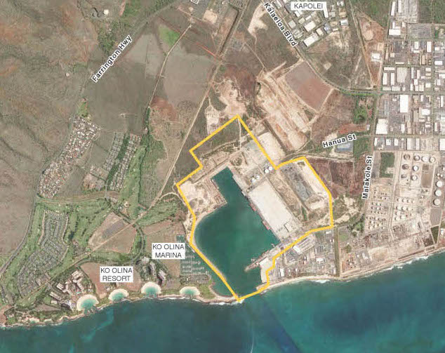

Welcome to Kalaeloa Harbor, located in Kapolei at Barber's Point, Oahu next to Ko Olina Harbor. Kalaeloa Harbor occupies the location of the former Naval Air Station Barbers Point, which was closed in 1999 and subsequently transferred to the State of Hawai?i. The geographical name, Ka lae loa, means "long point" in Hawaiian and is the native name for what is now called Barbers Point on O?ahu. The area was known as Barbers Point because Captain Henry Barber wrecked his ship on a coral shoal at this location on October 31, 1796. In 1993, after the federal government listed Barbers Point for closure, the state legislature established the Barbers Point Naval Air Station Redevelopment Commission (BPNAS-RC) to guide the redevelopment of the former military facilities comprising John Rodgers airfield and 3,700 acres (15 km2) of land along the south shore of O?ahu between the towns of ?Ewa, Kapolei, and Campbell Industrial Park. On July 1, 2002, the Hawaii Community Development Authority became the redevelopment authority for Kalaeloa. The former Naval Air Station runways and associated facilities are now Kalaeloa Airport.
| Website: | http://www.kalealoaharbor.com |
|---|---|
| Nautical Coordinates: | 21° 19′ 30″ N, 158° 07′ 04″ W |
| NOAA Chart: | 19357 |
| Harbor Master: | DOT Harbor Division |
| Email Address: | kalealoa@kalealoaharbor.com |
| Phone: | 8086823989 |
| Fax: | 0 |
| Harbor Amenities: |
Harbor Office |

Rainbow Bay Marina
Oahu
Rainbow Bay Marina
57 Arizona Memorial Dr. (Pearl Harbor next to Ford Island Bridge) Aiea, HI, United States - 96701
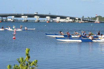
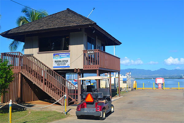
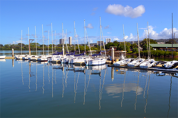
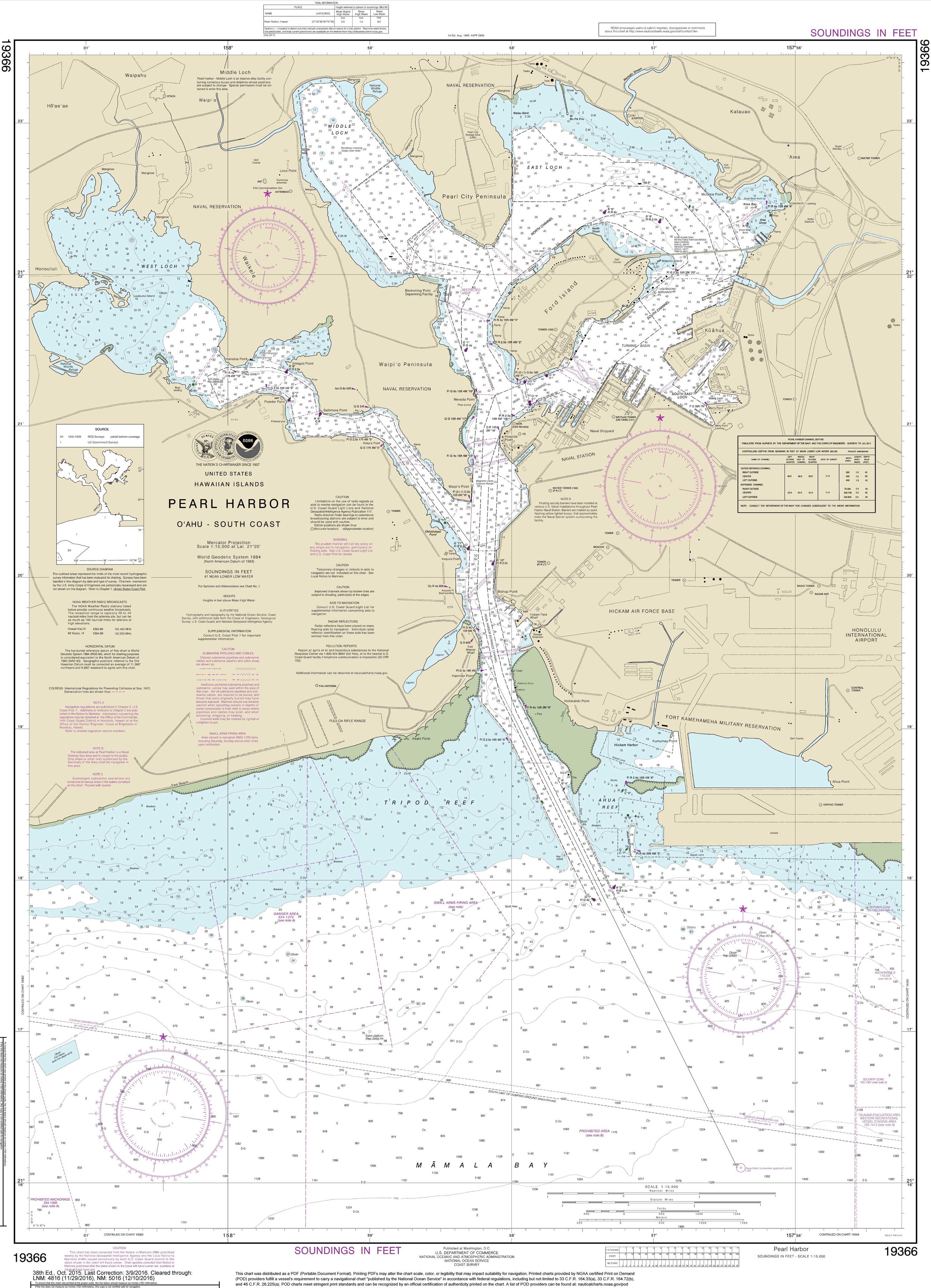
Welcome to beautiful Rainbow Bay Marina located in Pearl Harbor next to the USS Arizona Memorial Visitors Center. Rainbow Bay Marina is a complete sailing facility that offers sailing lessons and rentals, canoe paddling and more. Or, join a team of paddlers as they work as one cresting the waves. Mooring and dry dock storage facilities are available, as well as personal storage lockers. This is a Naval recreation facility located off-base and open to the public.
| Website: | http://www.rainbowbaymarina.com |
|---|---|
| Nautical Coordinates: | 21° 22′ 17″ N, 157° 56′ 17″ W |
| NOAA Chart: | 19366 |
| Harbor Master: | DOT Harbor Division |
| Email Address: | rainbow@rainbowbaymarina.com |
| Phone: | 8084730279 |
| Fax: | 0 |
| Harbor Amenities: |
Activity Charters |


